Projections
PyGMT support many map projections. Use the projection parameter to specify which
one you want to use in all plotting modules. The projection is specified by a one
letter code along with (sometimes optional) reference longitude and latitude and the
width of the map (for example, Alon0/lat0[/horizon]/width). The map
height is determined based on the region and projection.
These are all the available projections:
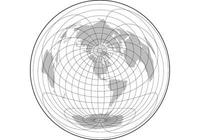
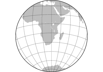
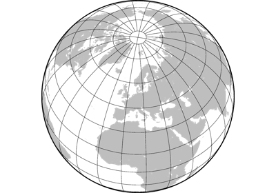
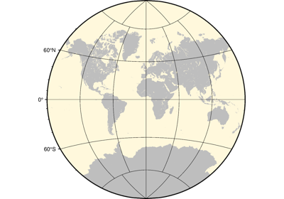
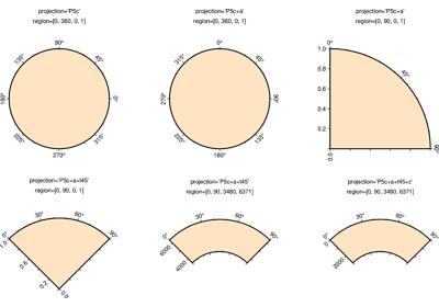
Azimuthal Projections
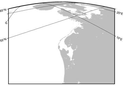
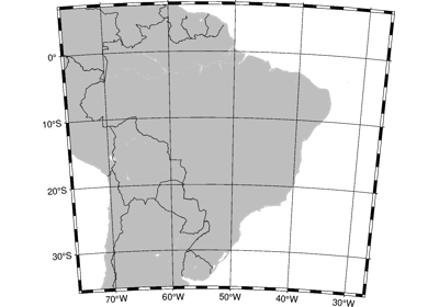
Conic Projections
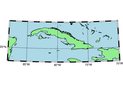
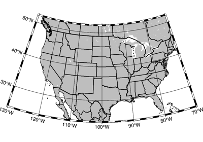
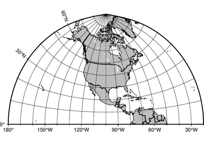
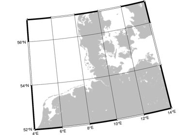
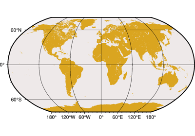
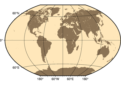
Cylindric Projections
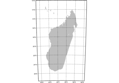
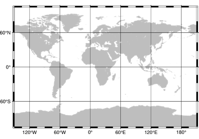
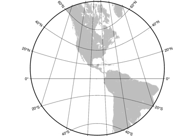
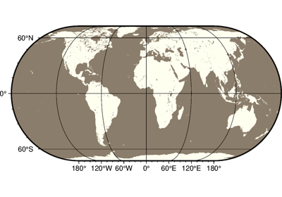
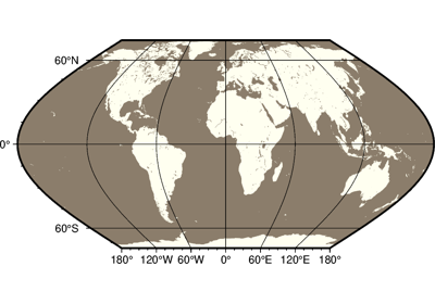
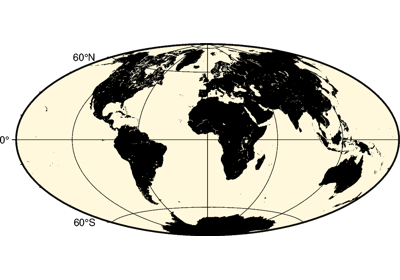
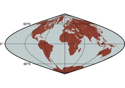
Miscellaneous Projections

Non-geographic Projections

Projection Table
The below table shows the projection codes for the 31 GMT projections.